
Feature and Level Surveys Melbourne

Reliable Feature, Contour and Level Surveys
When a project starts with clear site information, everything that follows becomes easier. Base Surveys provides professional feature surveys, contour surveys and level surveys that give architects, builders, engineers, developers and property owners the accurate data they need to plan with confidence.
We work across Melbourne and Victoria to deliver survey information that supports better design, smoother approvals and fewer issues during construction. Whether you are preparing plans for a new build, an extension, a redevelopment or a commercial project, we provide clear and dependable site data tailored to the job.
What Is a Feature and Level Survey?
A feature and level survey is a detailed survey that captures the visible features of a site along with ground levels and surface contours. It is used to give your design and project team an accurate understanding of existing site conditions before planning, engineering or construction work begins.
A typical feature survey may include buildings, driveways, fences, retaining walls, trees, kerbs, pits and other visible improvements. Level surveys record height information across the land, while contour survey data helps show the shape and fall of the site. Together, this information creates a reliable base for architectural design, drainage planning, engineering documentation and construction preparation.
For many projects, a feature and level survey is one of the first essential steps. It helps reduce guesswork, improves coordination between consultants and gives your team the information needed to move forward with confidence.
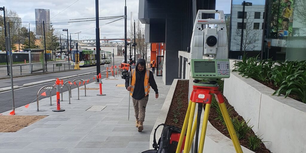
What Is Included in Our Feature, Contour and Level Surveys?
Our surveys are tailored to the site and intended use, so the final deliverable is practical for your consultant team and relevant to your project scope.
-
Site Features and Improvements
We capture visible site features and existing improvements that may affect planning, design or construction.
This can include structures, boundaries in relation to visible occupation, paving, driveways, retaining walls, fencing, kerb and channel, trees, poles, pits and other surface features.
-
Ground Levels and Contours
We record levels across the site to show changes in elevation, fall and surface shape. This information helps with building design, earthworks planning, stormwater considerations and understanding how the site may function during construction.
-
Survey Data for Designing and Planning
We provide survey information in a format that can be used by architects, engineers, designers and project consultants. Clear and accurate base data helps reduce redesign, coordination issues and avoidable delays later in the project.
When Do You Need a Feature Survey?
A feature survey is usually required before design work begins. It gives your project team a reliable starting point and helps avoid assumptions about the site.
You may need a feature and level survey when you are:
- Planning a new home or extension
- Preparing architectural drawings
- Designing drainage or civil works
- Assessing a sloping site
- Preparing documents for planning or development approval
- Coordinating consultants before construction starts
- Reviewing existing site conditions before redevelopment
For sites with slope or changing ground conditions, contour survey data and level surveys are particularly important because they influence design feasibility, access, stormwater management and construction methodology.
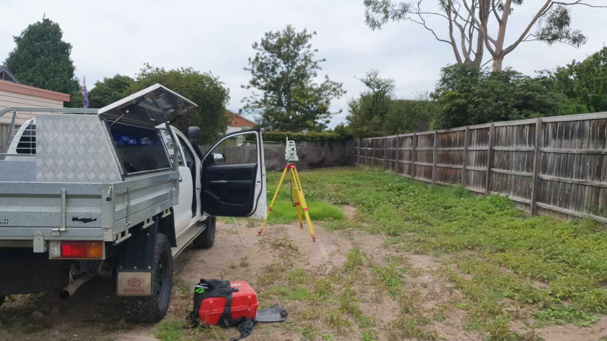
Who We Work With
Our feature and level surveys support a broad range of property and construction projects. We work with clients who need dependable site data and clear deliverables they can use straight away.

Homeowners and Owner Builders
If you are planning to build, extend or improve your property, we can provide the survey information your designer or draftsperson needs to begin with confidence.

Architects and Building Designers
We supply base survey information that supports better site-responsive design and helps reduce issues caused by missing or unclear existing conditions.

Builders and
Developers
We provide survey data that helps builders and developers understand the site early, coordinate consultants and keep project planning moving.

Engineers and
Consultants
Feature, contour and level survey information is often a key input for civil, structural and drainage design. We deliver the data needed to support that work.
Need a Feature Survey for Your Project?
If you need a feature survey, contour survey or level survey, speak with Base Surveys about your site and project requirements. We can help you get clear, reliable survey information so your plans can move forward with confidence.
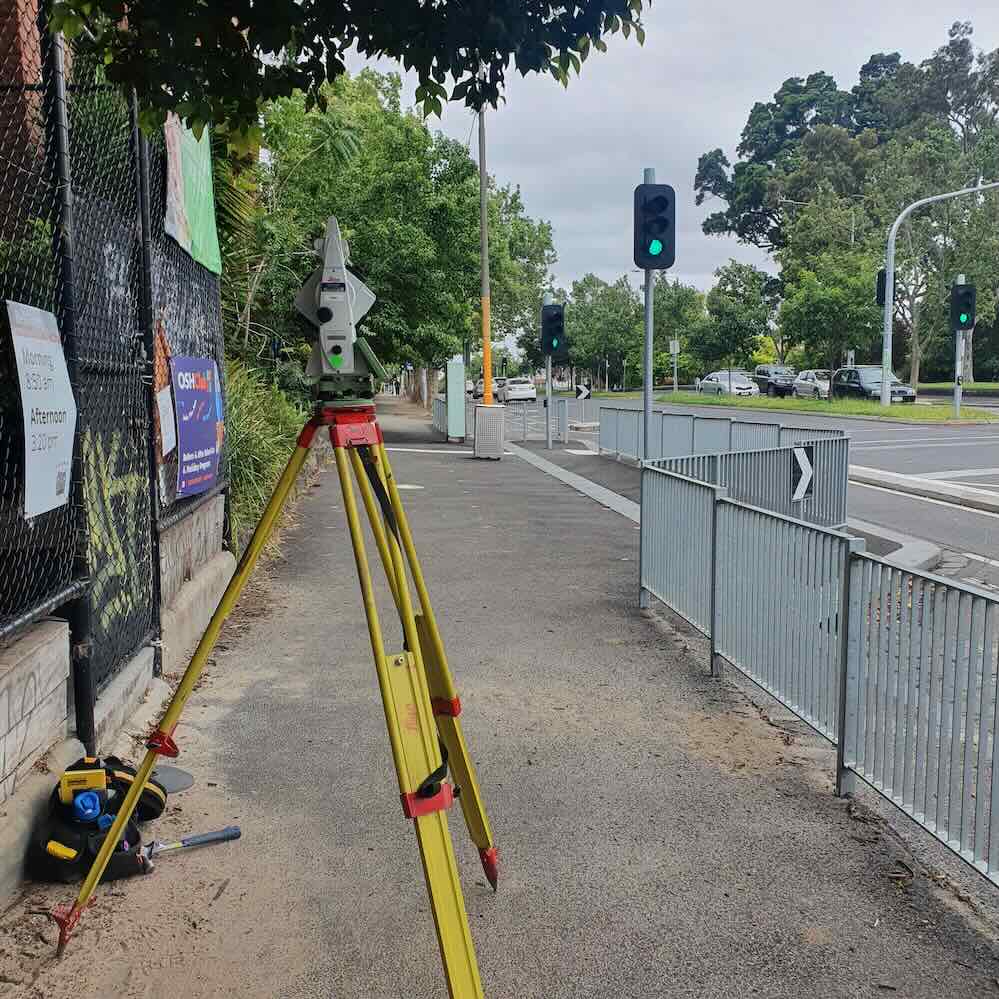
Why Choose Base Surveys for Feature and Level Surveying
Base Surveys provides practical surveying support for projects that need accurate, usable site information. We understand that the purpose of the survey is not just to collect data, but to help move the next stage of the project forward with less friction.
Clients choose us because we focus on:
Accurate and clearly presented survey information
Responsive support for planning, design and construction workflows
Survey deliverables that are useful for consultants and project teams
Reliable communication throughout the job
Services across residential, commercial and development projects
Our Process
We keep the process straightforward so you can get the information you need without unnecessary delays.
Project Review
We confirm the site details, intended use of the survey and any specific requirements from your architect, engineer, builder or consultant team.
Site Survey
We attend site and carry out the required field work to capture features, levels and other relevant information.
Data Processing
We process the survey data and prepare the plan so it is clear, accurate and suitable for the next stage of the project.
Survey Delivery
You receive the completed survey information for use in planning, design, approvals or construction preparation.
Related Surveying Services
Feature and level surveys are often the starting point for broader project requirements. Depending on the scope of your job, you may also need support with other surveying services. Related services include:
As-built surveys
Site establishment and control
Subdivision or development support
Linking related services helps clients move from early planning through to delivery with one experienced surveying team.
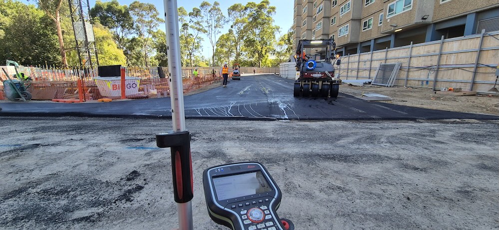
Feature and Level Survey FAQs
What is a feature survey?
A feature survey is a survey that records visible site features and improvements such as buildings, fences, driveways, retaining walls, trees and other surface details. It is commonly used for planning, design and construction preparation.
What is the difference between a feature survey and a contour survey?
A feature survey captures physical features on a site, while a contour survey focuses on the shape and fall of the land. Many projects require both, which is why contour information is often included within a feature and level survey.
What are level surveys used for?
Level surveys are used to record height information across a site. They help designers, engineers and builders understand slope, site fall and existing ground conditions before design or construction starts.
When should I arrange a feature and level survey?
You should usually arrange a feature and level survey before design work begins. Accurate site data gives your project team a reliable base for drawings, approvals and planning.
Who needs a feature survey?
Feature surveys are commonly needed by homeowners, architects, building designers, engineers, builders, developers and consultants working on new builds, extensions, redevelopments and other site-based projects.
Can a feature survey help with planning and design?
Yes. A feature survey provides the existing site information needed for planning, architectural design, engineering documentation and broader project coordination.
Servicing Melbourne & Victoria
Base Surveys provides feature surveys, contour surveys and level surveys for projects across Melbourne and Victoria.
Whether you are working on a residential site, a commercial property or a broader development project, we can provide the site data needed to support accurate planning and design.
Get A Quote for Feature and Level Surveys
Speak with an experienced Feature and Level surveyor in Melbourne today and get accurate, reliable support for your project.